Muros
The Roman road of San Leonardo
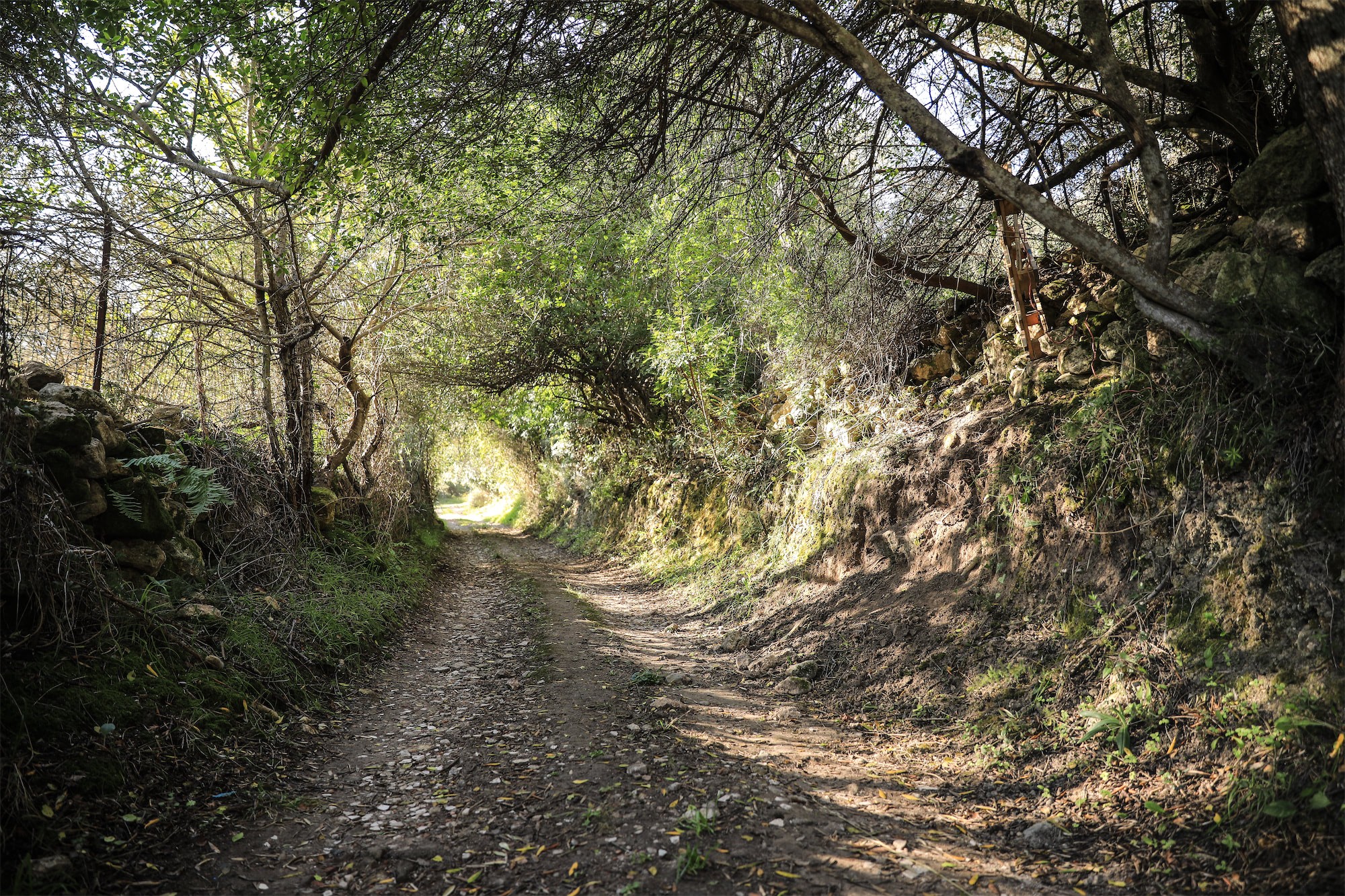
The path of Canechervu, named in the land registry maps as Road of Santu Lionardu, leads north towards the top of Canechervu, and just after 80 metres you can begin to recognise the remains of the old road. It is accessible for about 180 metres, then it becomes obscured by bushes for about 140 metres, where it is cut by a transversal step at the front of a quarry – the transversal sections are visible in big blocks. The roadbed is made of roughly cut limestone rocks, of medium and large dimensions. t is the most common construction technique for Roman roads in Sardinia: the stone pavement required cobblestones made by following specific criteria. We can also see how from the valley of the river Rio Mascari a “deverticulum”, or side road, branched off. It originally led to a settlement, evidenced by the existence of a necropolis mentioned by oral sources, and then continued up the mountain side to the top, reaching a point of absolute dominium over the surrounding valley.
Source: “Territory and Heritage. Know to give value” (in Italian) Muros Cultural Centre Renato Loriga, Galleria Editrice – “Muros a thousand years of history 800-1800” (in Italian), by Gesuino Scano