Florinas
Nuragic Sanctuary of Giorrè
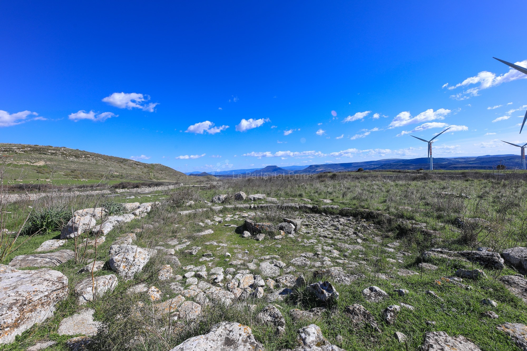
The plateau of Giorrè is located where the territorial borders of Cargeghe, Ossi and Florinas meet. It is a vast calcareous platform elevated 500 metres above sea level. The archaeological site of the same name is found in the south-east area, inside the borders of Florinas. It is positioned behind an ellipsoidal fence, inside which there is a rectangular building, a hut and a nuragic circle in refined isodome structure. Around the fence there are traces of other structures, in particular one of sub-rectangular shape of notable size, maybe a temple or megaron (tn* the central hall of a large Mycenaean house).
The territory of Florinas is a real archaeological park where you can find historic evidence dating back to the Nuragic Age (tn* Bronze Age, 1800-1500 BC) and Pre-Nuragic Age (tn* from the Palaeolithic to the middle Bronze Age). The village of Giorrè is located on a calcareous plateau in the north-west of Florinas, at the borderline with the territory of Ossi. In a notable position, its visual control extends from north to south-east, up towards the mountain chain of Anglona and the elevations of Santa Vittoria in Osilo, Mount Pelao and Mount Santo in Siligo, and to the west over the vast calcareous plateau intersected by the valleys of Florinas. On the northern side of the plateau of Giorrè, there is the nuraghe Sa Inistra Mala (tn* nuraghe: large megalithic, tower-shaped, prehistoric stone structures found in Sardinia, dating from the second millennium BC to the Roman conquest), while on the eastern slopes there are tombs of architectural prospect of S’Iscala ‘e Sa Casa, Balconeddu and Su Carralzu, where we can also find another three nuraghe: Loddauro, Giuanne Eli and Pedra Lada. Unfortunately, the site has been degraded by farming and during the 80s by illegal digs. In the area several structures are enclosed by a wall with an irregular elliptical shape, only partially visible due to excessive tampering. The two best preserved structures stand out from the rest, one of which is a perfectly circular building called the “Rotonda” (tn* the “Circle”) with walls still standing for a quarter of its circumference. The presence of isodome ashlars of limestone and basalt in the area suggests it was a bicolour building of cultural function. Only three layers of the structure’s walls remain, organised in protrusion. Inside there is a seat made by a layer of trapezoidal ashlars. On the floor there is a mark coinciding with the bottom layer of the wall, proof of the existence of a project plan for the building of these structures. The cultural importance of this monument is confirmed by the discovery of a baetylus in limestone, representing a nuragic tower to which we can add five stone fragments and three truncated-pyramidal elements in limestone, most certainly decorative elements of the structure. 2.50 metres from here is the base of a circular hut made with blocks of coarsely chiselled stone and other more refined ones including a T-shaped block. The hut seems to overlap another pre-existing structure, of which only a straight line remains. 5 meters from the “Rotonda” there is a building with a rectangular plan of which only few fragments still exist: the first layer of stone and the floor, made of square stones. Another important finding was that of the famous bronze statue with a silver mask, dating back to the 2nd century BC, and several Punic coins of Siceliot mint and other local ones, dating back to the 4th and 3rd centuries BC. All these elements seem to prove the survival of the building in historical times.
Source: “The Sanctuary Village of Punta Unossi” (in Italian), by Pina Maria Derudas